The bottleneck to large-scale surveying rarely sits in the field. It sits in the pipeline between raw data capture and a finished, client-ready deliverable. Teams who invest heavily in drones and sensors but treat software as an afterthought end up with massive, messy datasets and no efficient way to process them. These six categories of software tools are where that problem gets solved.
Point Cloud and Photogrammetry Processing
It all begins here. LiDAR flights and drone photogrammetry surveys produce vast amounts of raw data, point clouds containing hundreds of millions of points and image mosaics with overlapping images that require precise assembly into 3D models. Tools such as Agisoft Metashape and Bentley ContextCapture manage the photogrammetry aspect of the photos, converting the image overlap into dense point clouds, orthomosaics, and DSMs with real-world precision.
For LiDAR specifically, software like LAStools or TerraScan is tasked with filtering, classifying, and digitally “cleaning” raw point cloud data. Each type of sensor returns noisy points and is especially prone to misclassifying points as ground, vegetation, or buildings. Processing software segregates those points so that civil engineers can work from a clean, “bare earth” point cloud rather than every point captured by the scanner.
The global LiDAR market is estimated to reach $3.7 billion by 2030 (P&S Intelligence), which explains how central this data type has become to engineering design and civil infrastructure.
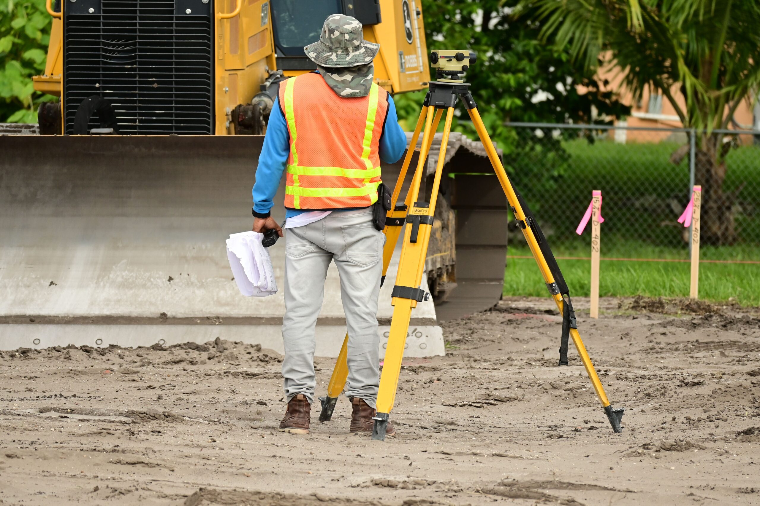
Importantly, garbage in, garbage out. The most refined software can be undermined by sloppy work at the acquisition phase. That’s why working with a qualified aerial lidar company matters, they’ll give you detail on sensor calibration, GPS ground control and check points, flight altitudes, accuracy reports, and other important stats you need to verify before committing to any processing.
GIS Platforms For Spatial Data Management
After conducting the necessary post-processing of the point cloud data and generating the orthomosaics, the data needs to be projected to be layered against other existing sources, utility corridors, environmental boundaries, old survey, and administrative boundaries. This step requires a Geographic Information System (or GIS) of choice: with the most popular commercial option being ArcGIS Pro and QGIS as an open-source alternative.
The GIS system can ingest common spatial data formats like .SHP, .LAS, and digital terrain models in format of raster DEMs. Even more importantly, a GIS system ensures the spatial interoperability of all the project disciplines. Engineers, ecologists, and planners hopping between Pro and Q can ensure that the files they send to each other are spatially accurate, so their data isn’t off by miles.
Furthermore, on large projects, GIS serves as a basic document management system. Every layer that is added to the model and any boundary or even elevation models that are created are all tracked against some real-world coordinate system, so nothing is accidentally out of place.
CAD Software With Surface Modeling Capabilities
Survey data must at some point translate into something an engineer can build from. That transformation, from dense point cloud to engineering-grade design model, occurs inside CAD software. AutoCAD Civil 3D is the common tool for most infrastructure jobs, while Bentley MicroStation is widely used for transportation and rail projects.
What elevates appropriate CAD tools here from the generic is automated feature extraction. Rather than manually drawing curb lines, utility poles, or drainage structures from point cloud data, modern CAD platforms can identify and extract those features nearly automatically. On a multi-square-mile project, that’s a difference of weeks of work.
Civil 3D’s surface-modeling tools can also create triangulated irregular networks (TINs), and Digital Elevation Models straight from classified point cloud inputs, so design and construction teams have immediate access to earthwork data.
Cloud-Based Data Sharing and Collaboration Platforms
Field crews are constantly collecting data, while office engineers are likely still processing the last flight. On large projects, data is flowing constantly, and with no viable option for a courier drive or an FTP handoff that someone invariably forgets about, it all must be shared in real-time.
Tools like Autodesk Construction Cloud, Trimble Connect, or many of the other purpose-built geospatial sharing environments allow real-time synching between field collection and office processing. Drone flights push directly into the shared project environment. Engineers tap the new dataset immediately.
This will be especially important for RTK/PPK grade survey equipment, where position data is being logged in the field but aggregated for post in the office. A well-configured sharing environment could keep these workflows from pulling apart across user inboxes and USB drives.
QA/QC and Accuracy Validation Tools
No deliverable should leave the project environment without a documented accuracy check against Ground Control Points. GCPs are physical markers with known coordinates placed across the survey area before flight. QA/QC software compares the processed dataset against those points and reports error margins.
Tools like CloudCompare offer free, open-source point cloud comparison, while platforms like Pix4D include built-in GCP-based accuracy reporting. The output is a validation report that demonstrates the survey meets the required spatial accuracy standard, something clients and downstream engineers rely on when they’re making construction decisions from the data.
Skipping this step is where project liability concentrates.
Building Information Modeling For Final Deliverables
For any work related to asset management or facility operations, infrastructure, utilities, or large campuses, for example, a digital twin will likely be your handover. But design software such as Autodesk Revit or Bentley OpenBuildings can use your survey data as a reference layer to allow the design team to start creating a digital twin of the as-built asset that is anchored to real-world coordinates.
A reliable field-to-office pipeline isn’t built around any single tool. It’s built around tools that talk to each other, handle the data volumes modern aerial surveys produce, and maintain accuracy from raw capture through to client handoff.
For more, visit Pure Magazine